Lot Number On Map
Description
This section is from the book "Real Estate Principles And Practices", by Philip A. Benson, Nelson L. North. Also available from Amazon: Real Estate Principles and Practices.
Lot Number On Map
Quite often the owner of a tract of vacant land has developed it by cutting through streets and subdividing it into lots upon a map which he has filed in the proper county office. The map shows the various blocks and lots, numbered for convenience of identification, and the map bears usually a title, the owner's and surveyor's name and the date of survey. For example:
Map of land at Mineola, Nassau Co., N. Y. Property of James Smith. Surveyed by John Jones, C. E., dated June 1st, 1921
Merrick Road
Land of Williams
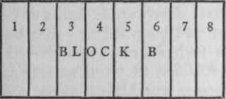
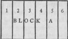
The simplest manner of describing a lot upon this map would be "All that certain lot, piece or parcel of land, known upon a 'map of land at Mineola, Nassau County, N. Y., the property of James Smith, John Jones, surveyor, June 1st, 1921' as and by the lot number 7 in Block B." Such a description fully identifies the lot and reference to the map on file will always show the exact location of the lot. The surveyor always, in making such a survey, uses some permanent landmark upon the plot so that all lots may be physically located by measuring from it.
Continue to:
My Books

